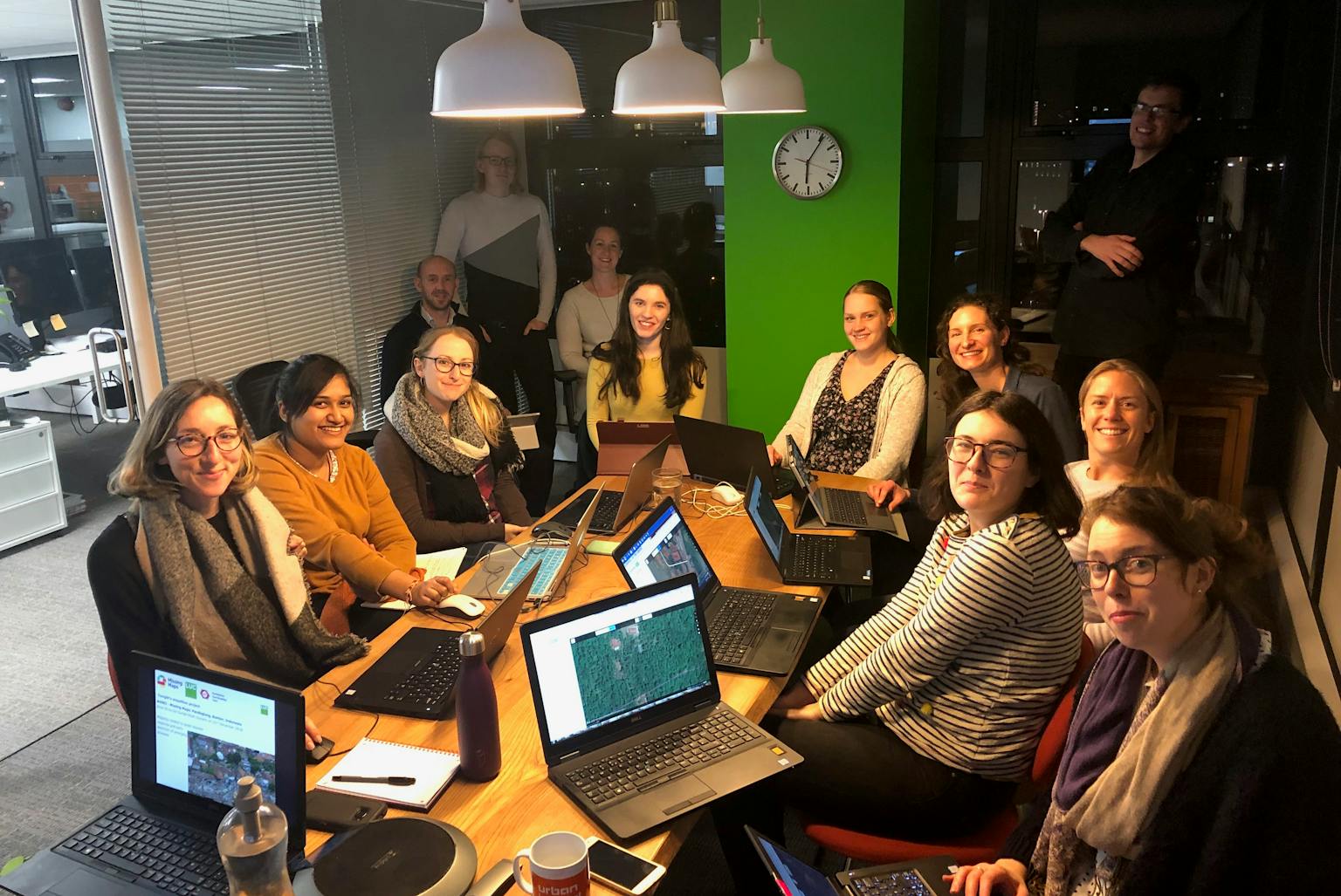
LUC Bristol maps natural disaster areas for relief support
Last week, LUC’s Bristol office took part in a ‘mapathon’ after work, joined by their neighbours at Fulkers.
The team mapped buildings affected by the devastating tsunami which hit Indonesia in December 2018. Using satellite imagery, the group plotted in key settlements using the Humanitarian OpenStreetMap editor within the disaster zone. Aid relief workers will use this information to navigate around the area and to monitor the spread of emerging diseases.
Our GIS Intern, Leanne Archer, who organised the evening, said: “Everyone had a wonderful evening helping to put vulnerable people on the map. This was a great event that not only raised awareness of the importance of geographic information across the globe, but also helped to highlight the ease in which people can get involved through mapathons such as ours.”
LUC’s GIS & Visualisation team hopes to repeat the event in the near future.
Contact Diana Manson to talk to LUC about our GIS & Visualisation services.