


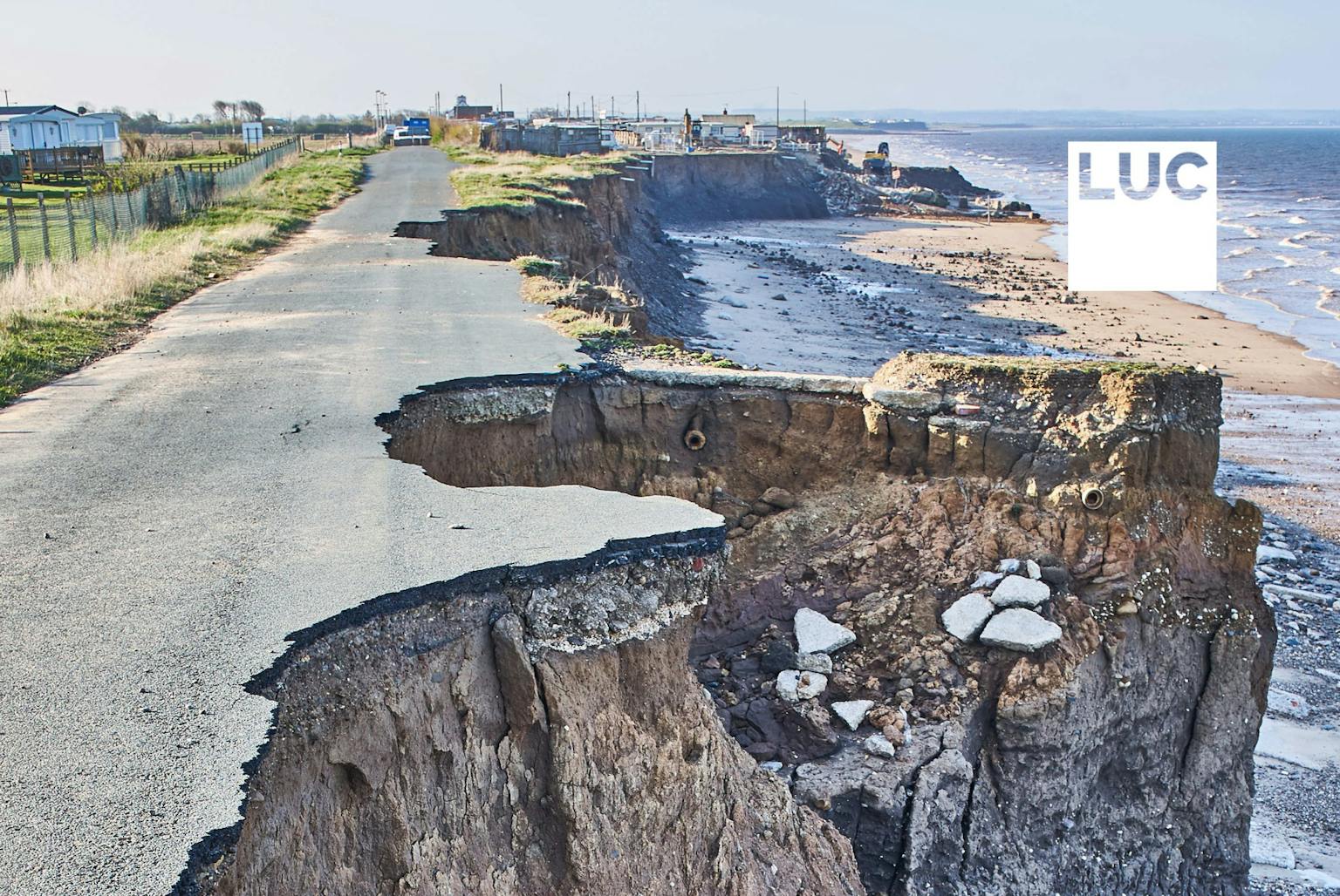
LUC to produce coastal heritage interactive map for Historic England
LUC’s GIS & Visualisation and Historic Environment teams are to embark on a project which will identify areas in England where heritage is most at risk from coastal processes.
The Coastal Risk and Priority Places project, funded by Historic England, centres on the creation of an interactive map resource that will display areas of heritage sensitive to coastal change. The project will review currently available data and research to develop indices of coastal vulnerability and heritage sensitivity.
This study will enable Historic England to:
- Identify where damage to, and loss of, coastal heritage assets is most pressing;
- Better understand the drivers of change and the rates at which they are operating; and
- Provide a framework for prioritisation.
This work follows LUC’s recent completion of the National Historic Seascape Characterisation database; a consolidation of the eight existing Historic Seascape Character projects into a single, consistent GIS database with accompanying guidance documents, making it a streamlined and efficient evidence base for managing the marine and coastal historic environment.
For more information on how we use interactive mapping and analysis to support out historic environment projects, contact Diana Manson.
Recent news
Our Associate Landscape Architect, Lucy Tate, recently participated in a networking lunch organised by Women in Property at Wahaca, Edinburgh.
LinkedIn, 15 April 2024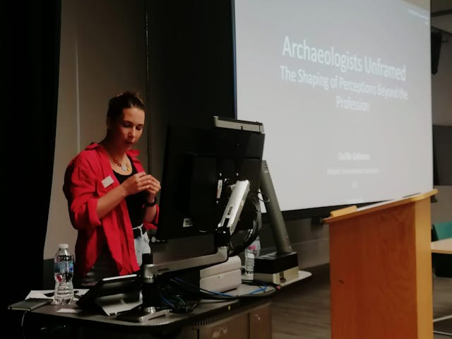 News, 16 April 2024
Historic Environment Consultant from LUC presents at Archaeology Conference
We're thrilled to see our project, Zetland Park, featured in the new Landscape Institute report, 'Landscape and Carbon'. This vital report highlights the power of landscape design to tackle climate change. LUC fully supports the report's call for collaboration across the industry.
LinkedIn, 14 March 2024