LUC’s ecological survey technologies at the cutting edge
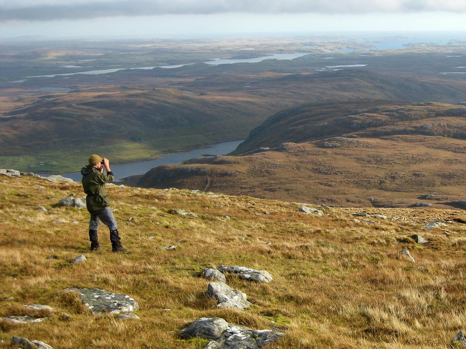
Some developers expect our ecologists to be tweed-clad bearded bores, clinging to limp clipboards and soggy field maps. However, LUC’s Ecology Team is firmly in the 21st century, introducing new survey technologies and techniques to save time and money for our clients (some of us still have beards, though).
With a former police college campus at Bramshill in Hampshire, our ecologists used infrared cameras to help determine precise locations for bat roosts and numbers, thus reducing surveying time. This technique is especially useful in complex and large buildings, such as stately homes, historic buildings, and school campuses.
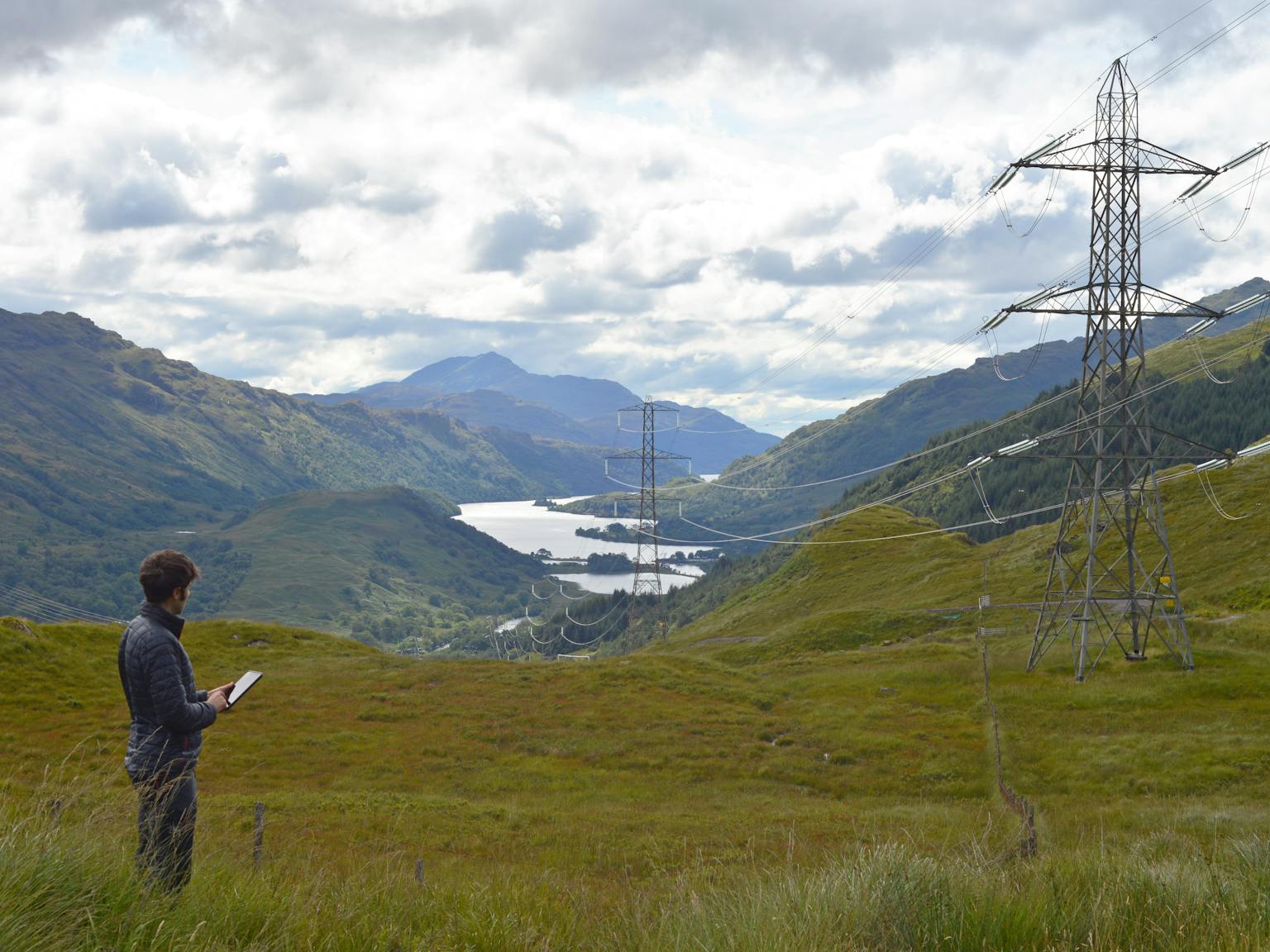
Then in Scotland, our team used tablets loaded with the Arc Collector app to collect protected species data during the baseline surveys for a large infrastructure development in the Highlands. Digitising data in the field allows us to have easy and organised access to data collected at all times, upload the data to the client’s database immediately, reduces map production time, and provides immediate reference to scheme options and proposed infrastructure to facilitate targeted survey. The data can also be used to produce ‘live’ databases, for example by using Excel or Access.
We are also keeping abreast of cutting edge technology currently in its infancy, such as the Bat3data system which will allow for 3D mapping of bat flight using specially designed ultrasound microphones and newly developed software (Ecoreader) to record the calls.
Technological advances such as these mean ecological surveys are faster, more accurate and more cost-effective.
Finally, it’s not all about surveying techniques; we take health and safety as seriously as our clients. Lone working has always been a part of ecology fieldwork but surveys undertaken in remote locations can cause concern for our clients. We make sure we know our ecologists are safe when lone working by using Spot Gen 3, a state-of-the-art personal locator beacon, which allows the user to check in with their manager and send emergency responders to their location if they get into trouble, using satellites so any lack of mobile phone signal is not a problem.
Recent news
 News, 7 April 2025
LUC supports transition from century-old transmission line to modern design
 News, 16 April 2025
LUC’s immersive StoryMap wins top Cartographic Design Award for A Boatman’s Journey
 News, 22 April 2025
Civic Trust Awards recognise Godolphin and Latymer School Redevelopment


