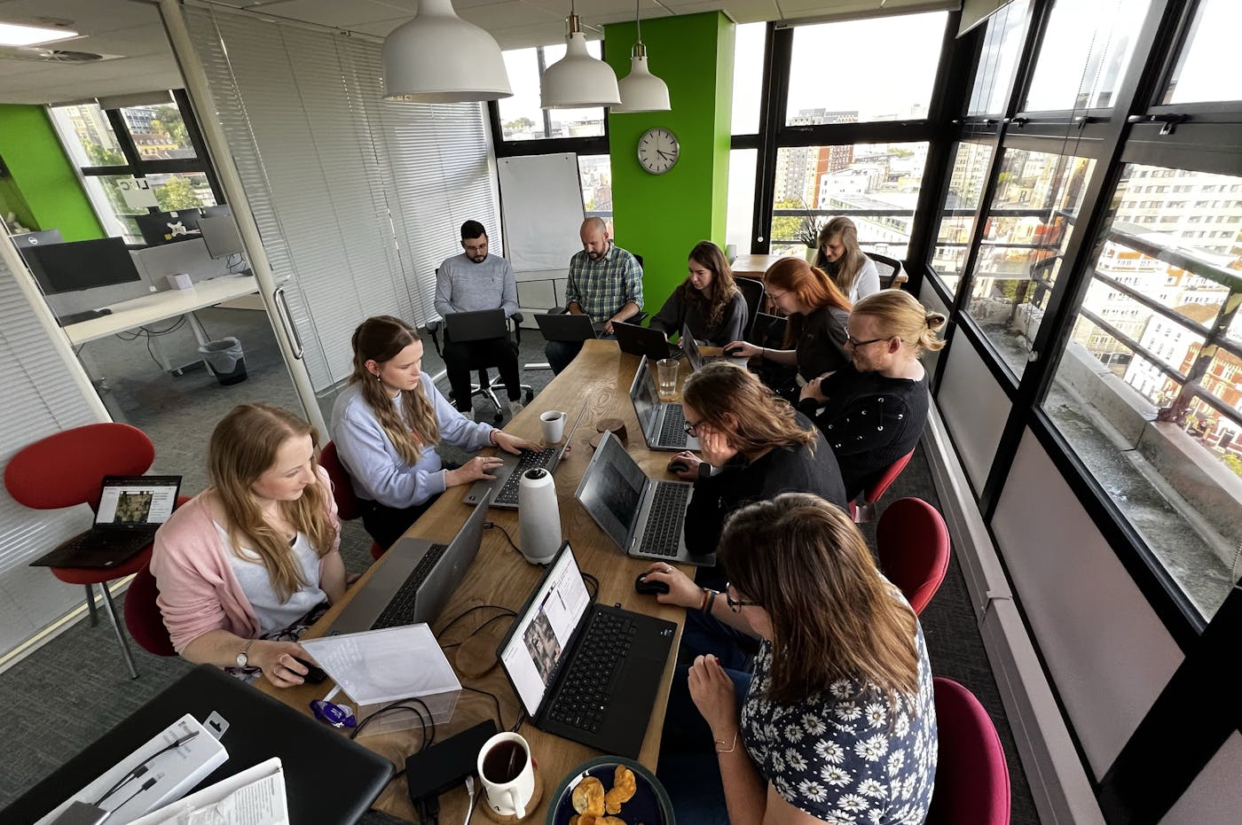
LUC hosts 9th Mapathon event across all offices
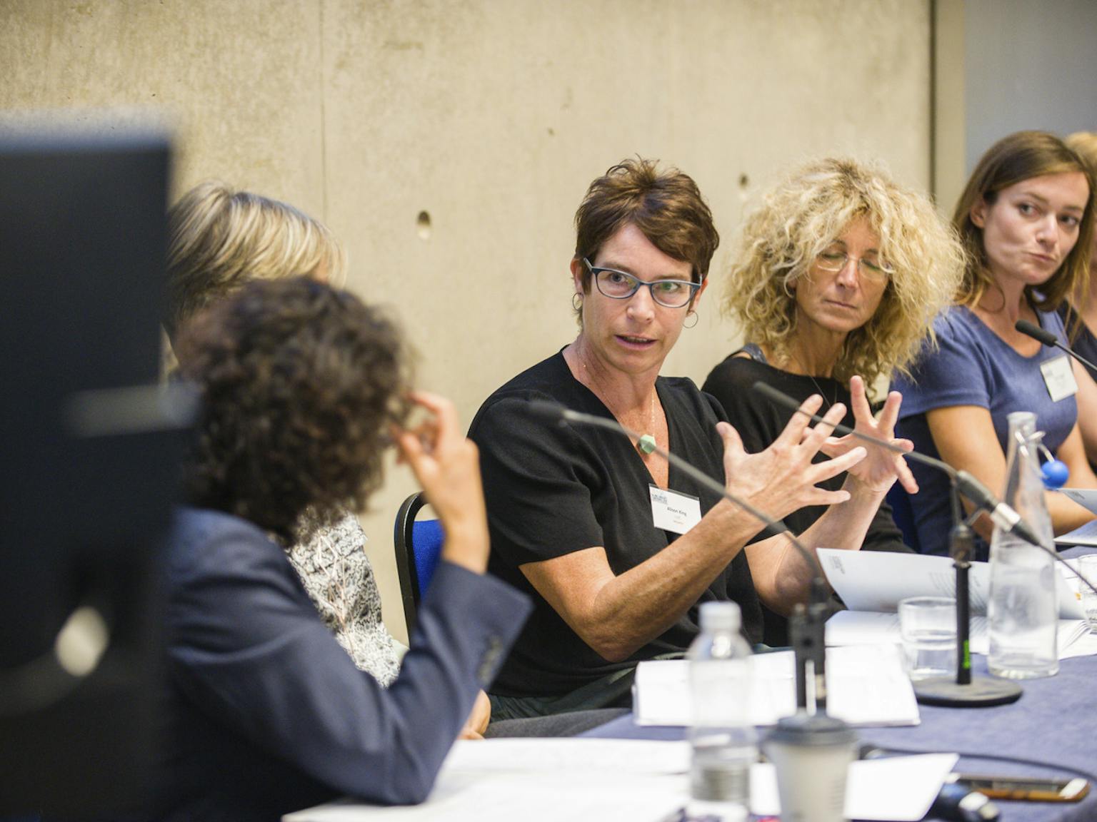
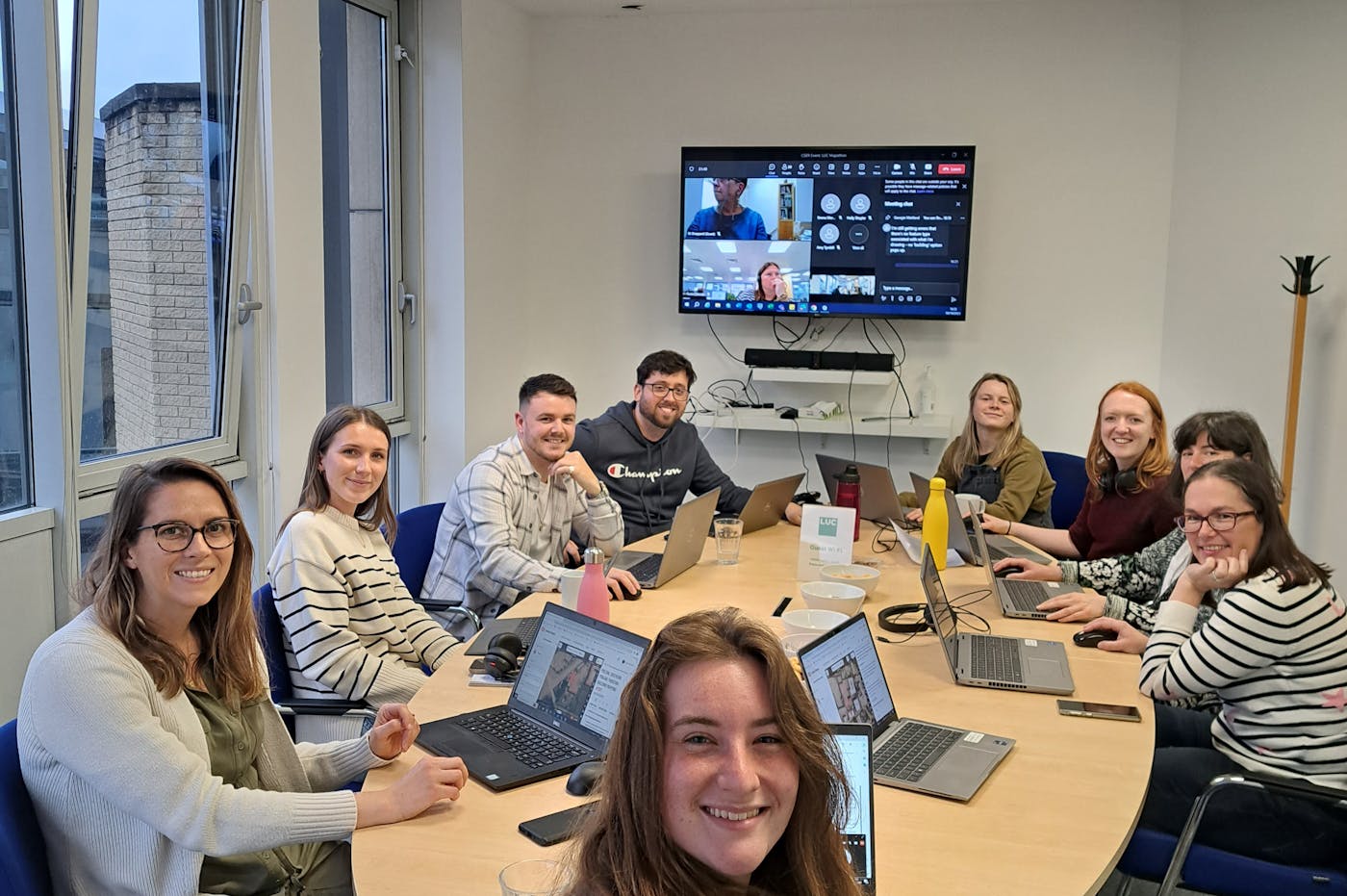
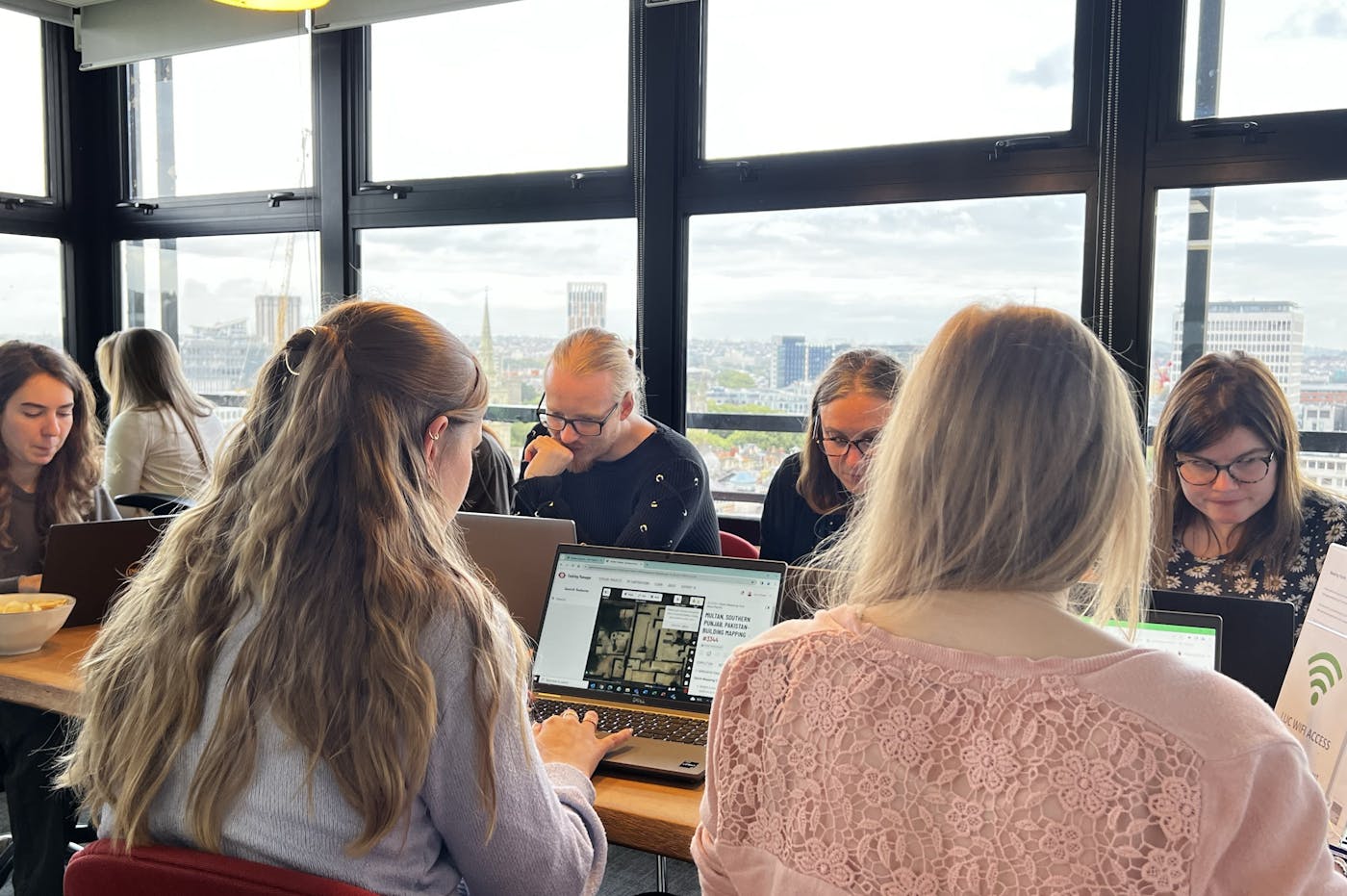
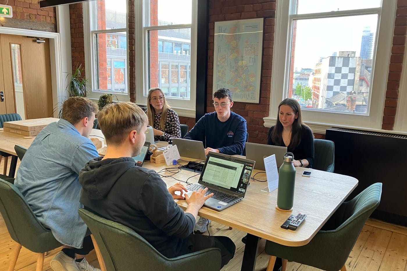
Yesterday, we hosted a Mapathon across all of our offices and were joined by some clients online. With 60 people participating, the turnout was fantastic.
Everyone was tasked to map buildings within the city of Multan in Pakistan - a densely populated city with a high risk of flooding and earthquake liquefaction.
Mapping the buildings in cities like Multan will help prepare geospatial data for disaster and climate change resiliency planning.
In total, we managed to map around 3,300 buildings during the event - this shows what a huge impact 90 minutes can have!


