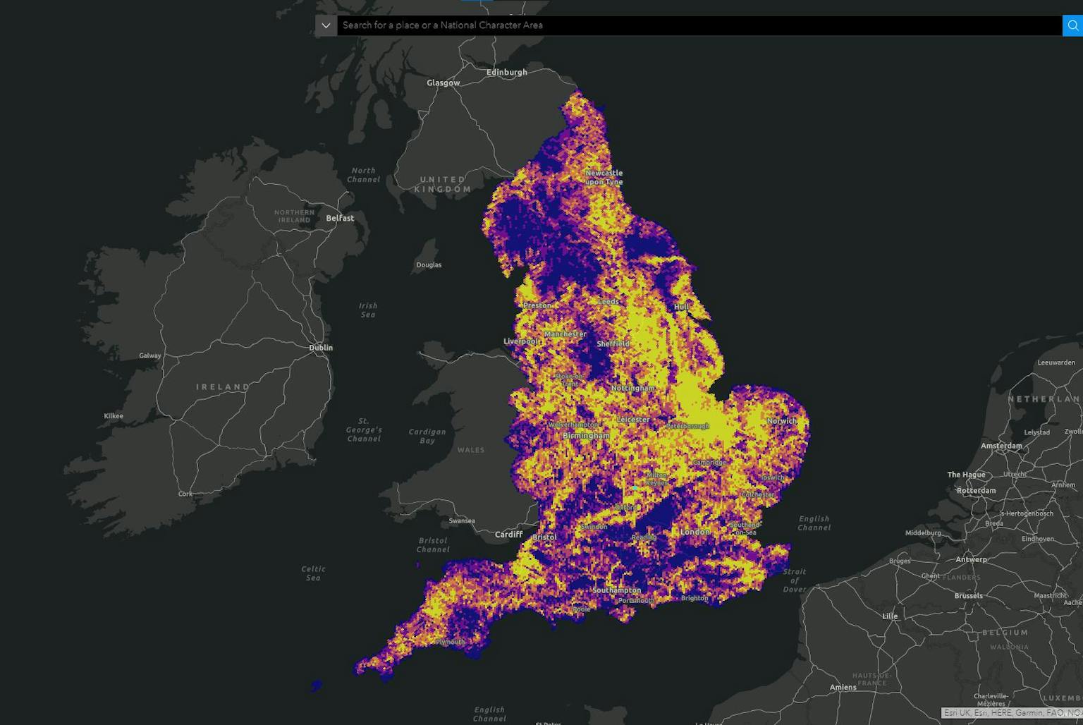
All England Strategic Landscape Mapping Tool
A collaborative vision for England’s landscapes
LUC is proud to have partnered with Natural England on the All England Strategic Landscape Mapping Tool.
This interactive tool empowers stakeholders to identify areas with potential for National Park or National Landscape designation, while also considering alternative approaches to landscape management.
Digital tool shapes landscape decisions
LUC's expertise in spatial analysis and consultation played a key role. We co-designed the tool with stakeholders, incorporating 55 data layers across natural beauty, access, and cultural heritage.
This data facilitates informed decision-making for a future-proofed landscape strategy.
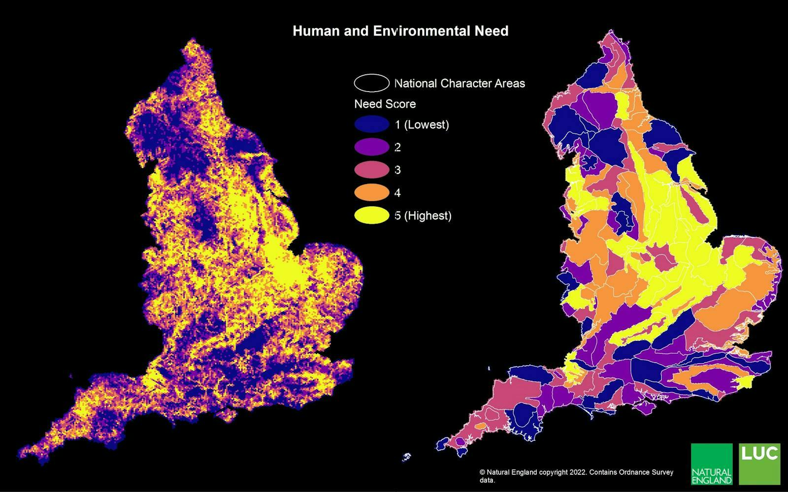
Identifying opportunities, informing priorities
The tool goes beyond highlighting potential National Parks and National Landscapes. It also pinpoints areas where alternative landscape approaches might be more suitable.
This empowers a more nuanced and inclusive vision for managing England's diverse landscapes.
Engaging stakeholders, informing communities
Public input was crucial throughout the project. LUC facilitated workshops to ensure the tool reflects the needs and aspirations of diverse stakeholders.
This collaborative approach ensures the tool serves the best interests of communities and the environment.
A strategic springboard for landscape planning
The All England Strategic Landscape Mapping Tool is a vital first step. It provides a strategic springboard for further analysis and prioritisation.
LUC is proud to support Natural England in shaping a thriving future for England's landscapes.


