Central Lancashire Green Belt and Other Open Land Designations Review
Shaping Central Lancashire
Central Lancashire's local authorities (Chorley, Preston, and South Ribble) commissioned LUC to provide a suite of assessments to inform the development of their new Joint Local Plan.
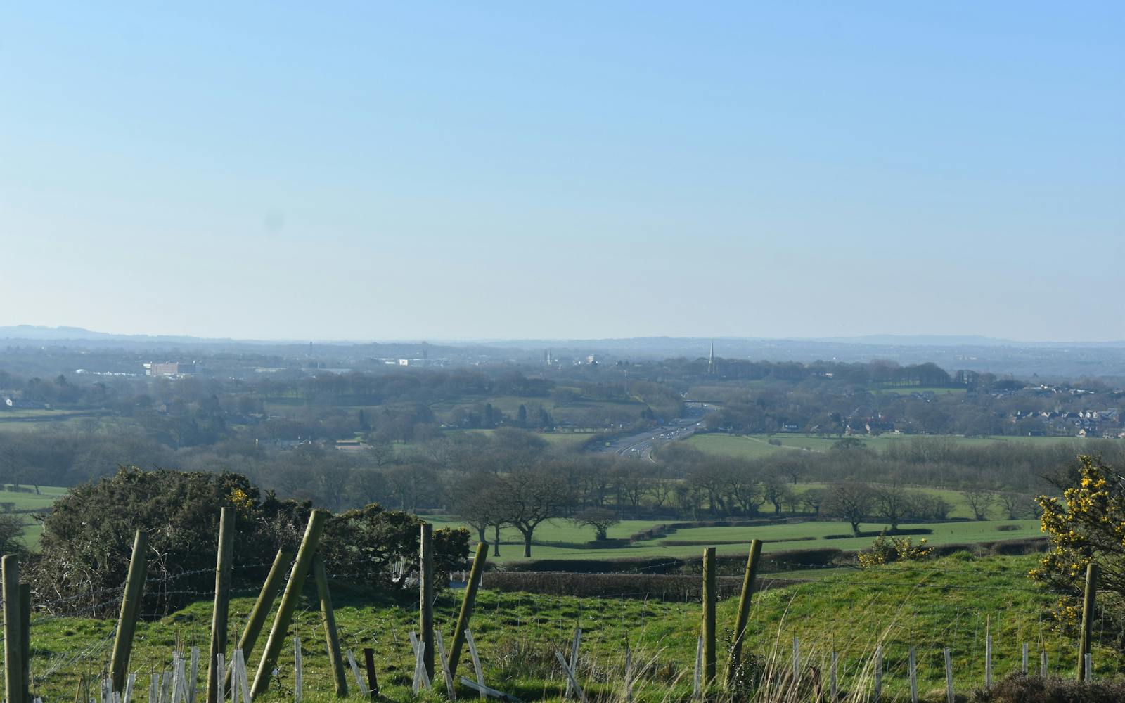
LUC's role was to assess the impacts of potential development on the Green Belt and analyse the role of open land in contributing to landscape character, settlement setting, and separation.

Enhancing the local environment
LUC's assessments will guide the creation of a Local Plan that protects Central Lancashire's valuable landscapes, safeguards the character of its settlements, and maintains important separations between them.
This provides vital guidance on the spatial delivery of the region's sustainable future.
Green Belt Assessment
LUC assessed the potential harm to the Green Belt posed by different development site options.
This assessment considered the five purposes of the Green Belt outlined in the National Planning Policy Framework (NPPF), preventing urban sprawl, protecting the open countryside, and preserving the setting and special character of historic towns.

Open Land Designations Study
LUC undertook a comprehensive open land designations study.
This study assessed open land across Central Lancashire, its contribution to the character of settlements, its role in maintaining separation between settlements, and its contribution to the Green Belt (addressed in a separate report).
Landscape Character Assessment
As part of the open land designations study, LUC conducted a landscape character assessment.
This assessment identified and evaluated the distinct landscape character areas (LCAs) across Central Lancashire.


