Dark Skies Map for Natural Resources Wales
An interactive map to guide sustainability
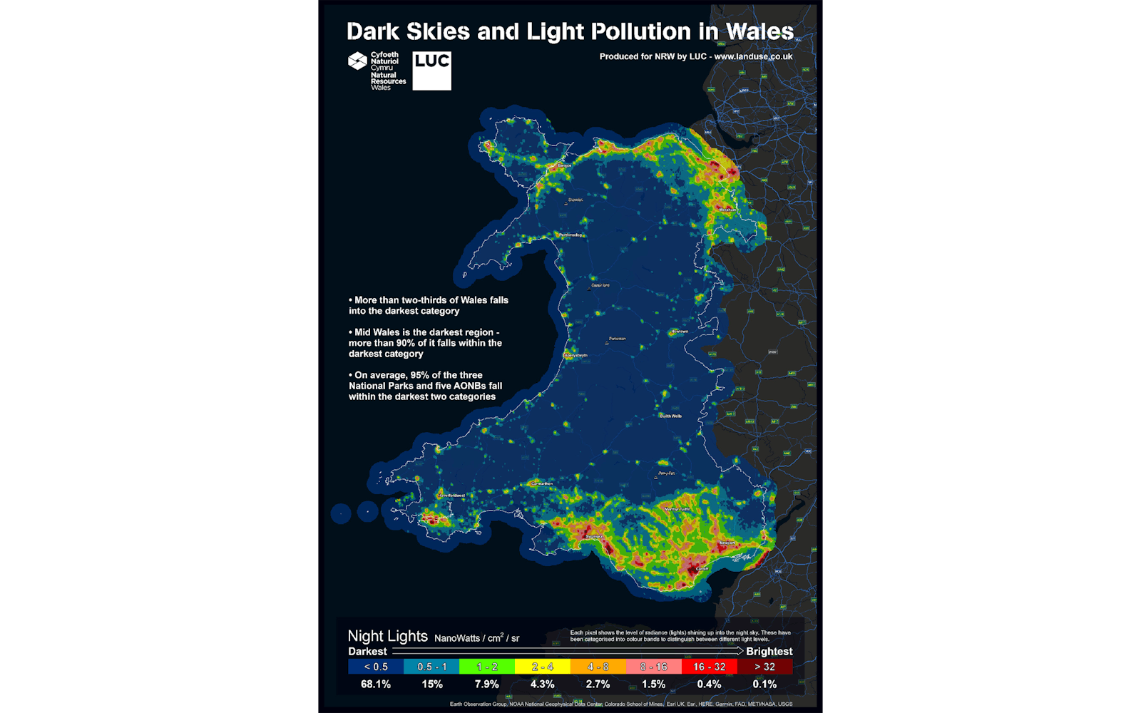
Natural Resources Wales commissioned LUC to create an interactive map revealing Wales' light pollution levels and highlighting areas with pristine night skies.
This evidence base will inform future planning policy and promote the well-being benefits of darkness.
Data for dark sky advocacy
The project empowers communities to advocate for dark sky-friendly lighting, protects wildlife, and positions Wales as a leader in light pollution reduction.
Transforming data into insights
LUC's GIS team transformed satellite imagery into a Wales-wide dataset, categorised by light pollution levels.
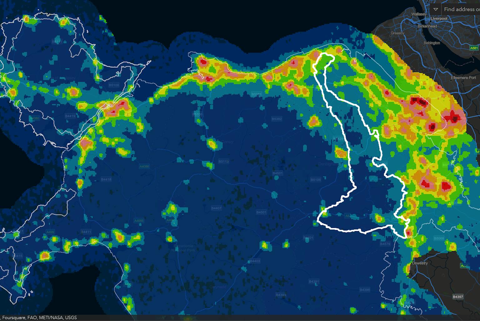
An interactive dashboard allows users to explore light pollution data at their fingertips, identifying areas with the darkest skies.
Guiding sustainable decisions
The map provides a robust foundation for planning decisions that minimise light pollution and maximise the enjoyment of Wales' dark skies.


