Herefordshire Natural Environment Evidence Project
Supporting the Local Plan
LUC provided a comprehensive natural environment evidence base to inform the Herefordshire County Council Local Plan review.
Integrated digital outputs included a Green and Blue Infrastructure Strategy, Landscape Character Assessment, Open Space Assessment and an Analysis of Habitats and Species across the county.
Providing a holistic, visually appealing evidence base
A user-friendly digital platform is a key output of the project and makes it easier for a wide range of stakeholders to use, including planners, developers, and the general public.
Providing web-based outputs allowed LUC to take a holistic approach, integrating the constituent reports and datasets, and allowing users to easily explore a wide range of information in one place.
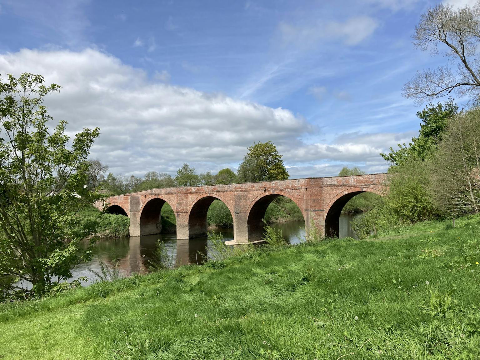
Green and Blue Infrastructure (GBI) Strategy
Central to the project, the GBI Strategy takes a unified approach to green and blue infrastructure across Herefordshire.
The strategy is a dynamic mechanism for securing GBI enhancements and connecting green and blue spaces.
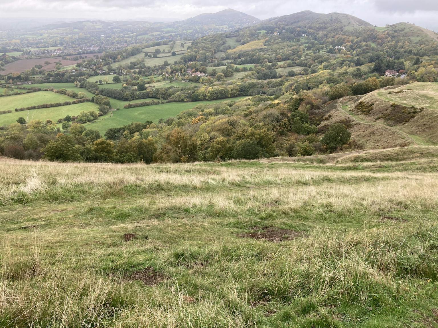
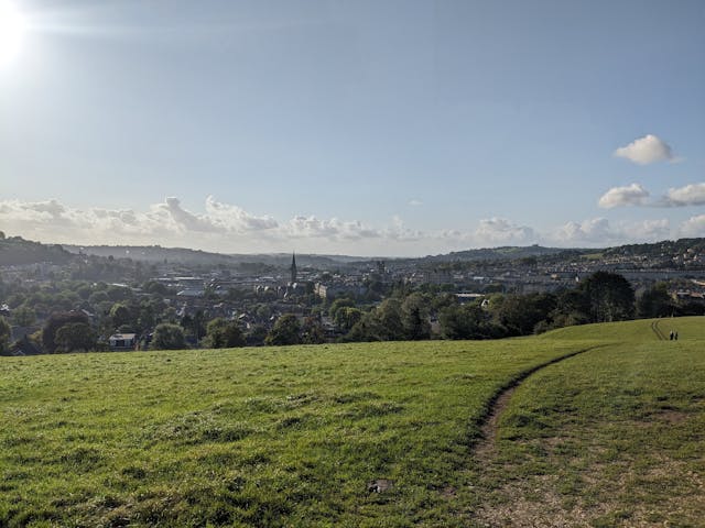
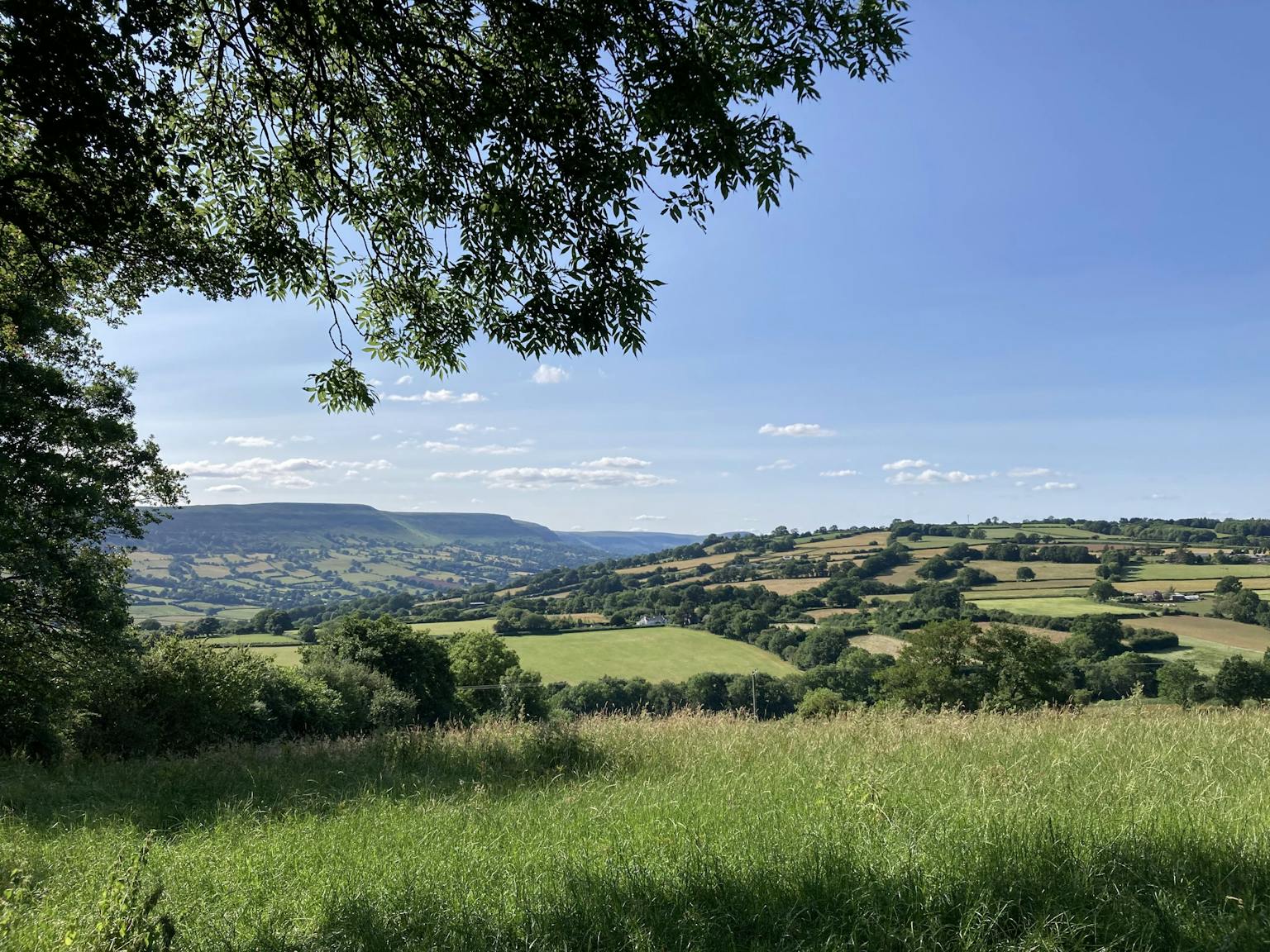
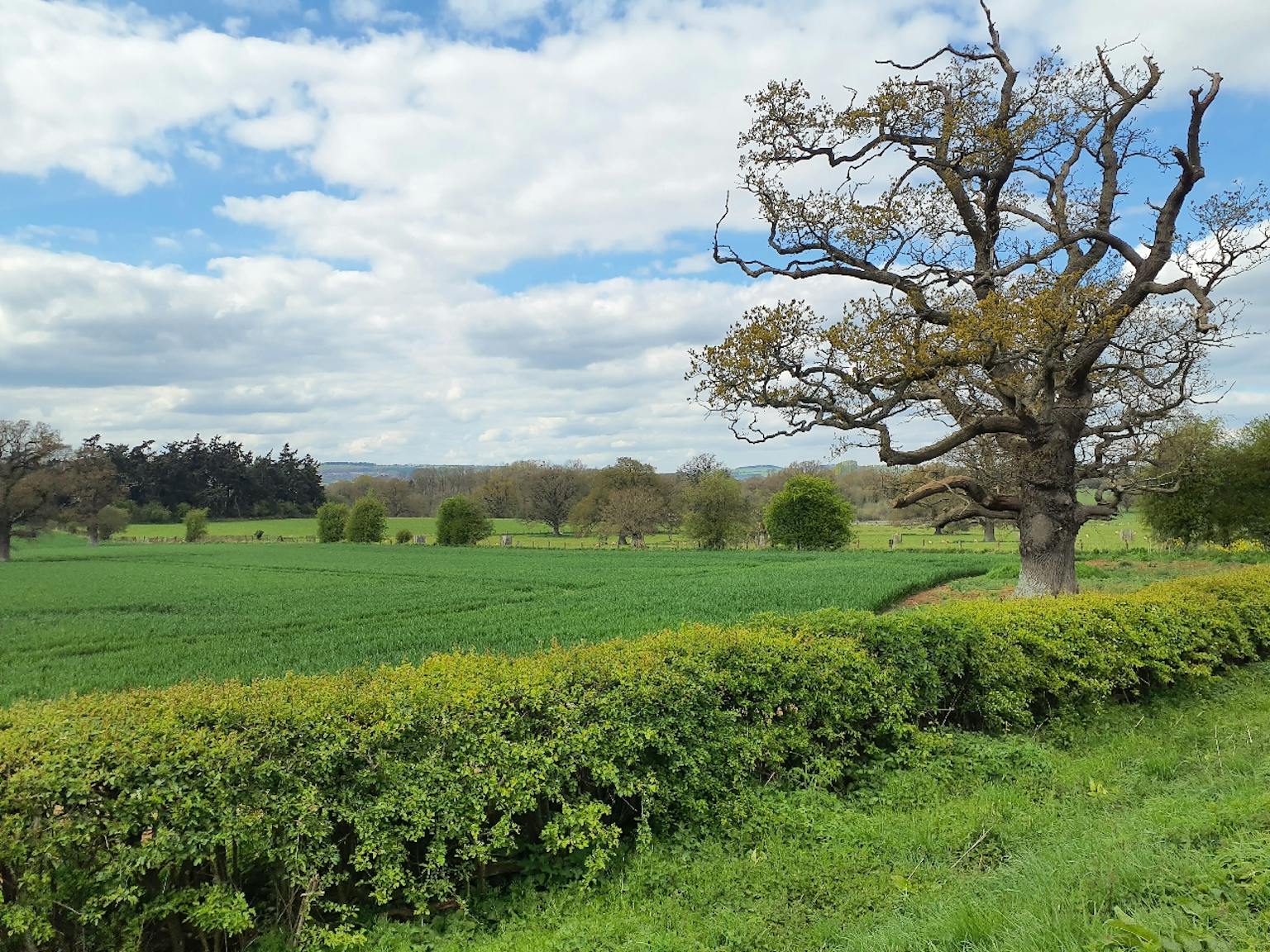
Landscape Character Assessment
The Landscape Character Assessment identifies and assesses the key characteristics of diverse landscapes within Herefordshire that contribute to its identity and provides guidelines on their conservation and enhancement.
The interactive maps and detailed profiles offer an accessible way for users to understand the landscape and its inherent qualities.
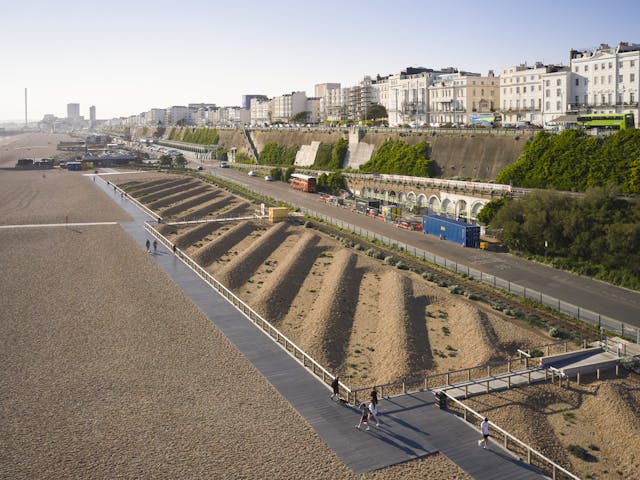
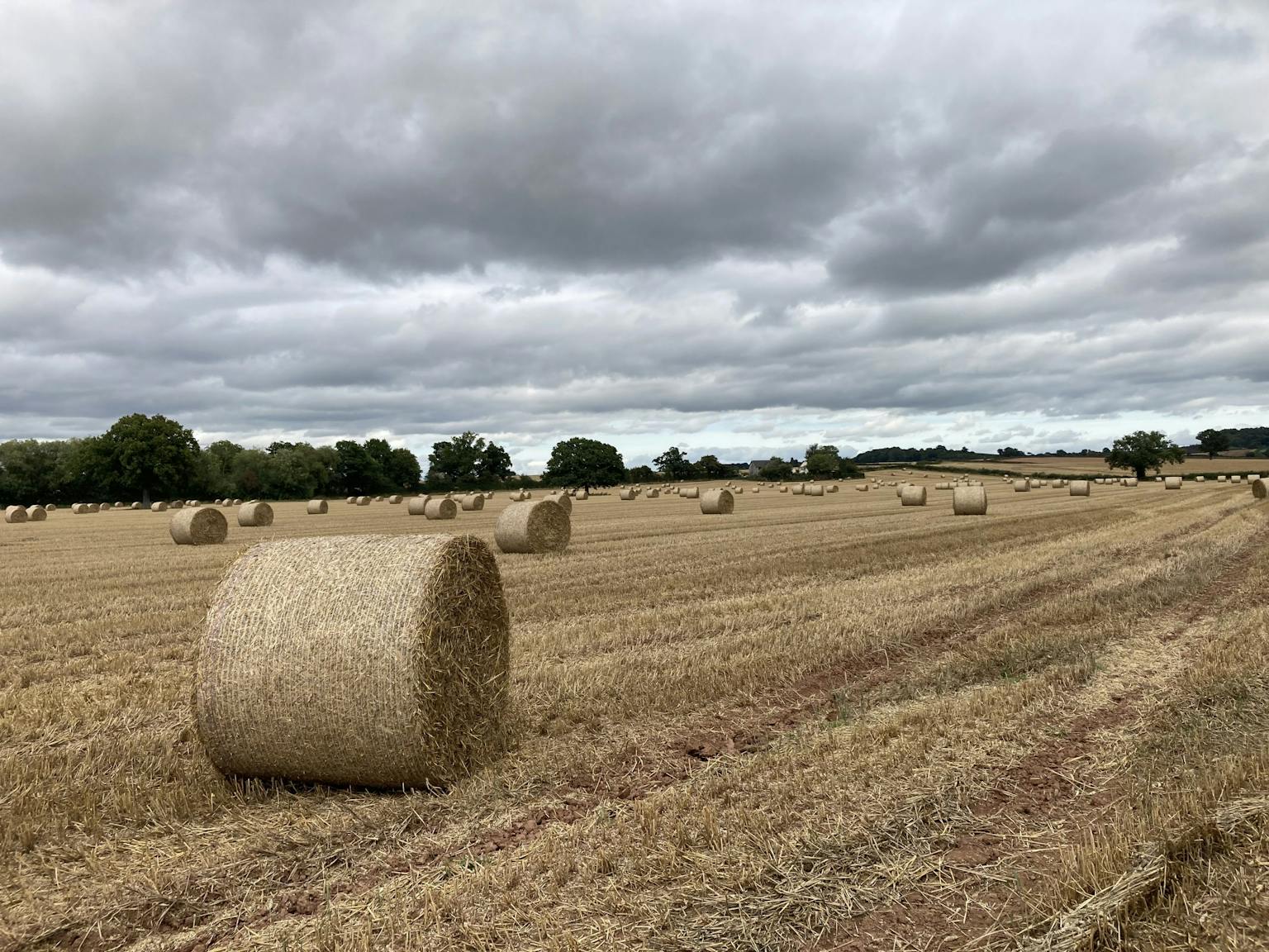
Open Space Assessment
The Open Space Assessment provides a robust evidence base for public open spaces across Herefordshire.
The assessment focuses on the distribution of open space in Herefordshire, analysing their quantity, accessibility, quality, and value.
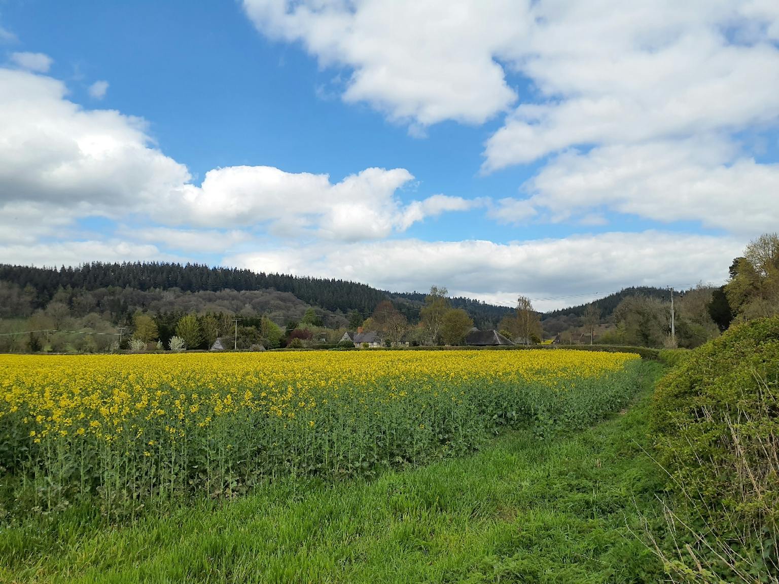
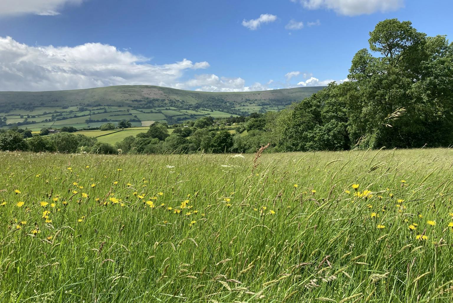
Habitat and Species Analysis
The project provides a comprehensive analysis of habitats and species across Herefordshire.
The mapping of designated sites, habitat networks, and biodiversity information provides a foundation for the Local Nature Recovery Strategy.
Accessibility for all
LUC prioritises inclusivity by ensuring the website and its resources are fully accessible for all users, regardless of ability.
"It was a pleasure working with knowledgeable and consummate professionals. The final result has been widely acclaimed and endorsed both internally and externally. LUC embraced our brief and thinking around an innovative 'holistic' approach and delivered the goods. An exceptional team and we look forward to working with them again in the future."
James BissetHerefordshire Council