Natural Resources Wales - Tranquillity and Place
Guiding policy and protecting peace
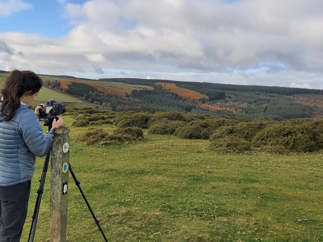
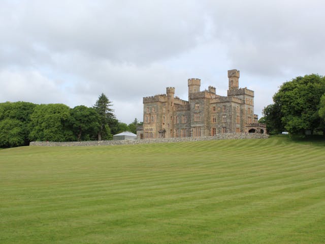
LUC collaborated with Natural Resources Wales (NRW) to develop a comprehensive resource identifying tranquil areas across Wales.
This nationally consistent Tranquillity & Place resource goes beyond scenic views. It maps tranquillity in remote, rural, peri-urban and urban areas to support policy, planning, and well-being.
A holistic assessment for a healthier Wales
Tranquillity is described as a relative abundance, perception or experience of nature, or freedom from human influence. It includes features like birdsong, natural sounds, starlight, and a sense of wildness. The dataset recognises the importance of even small pockets of tranquillity in urban settings.
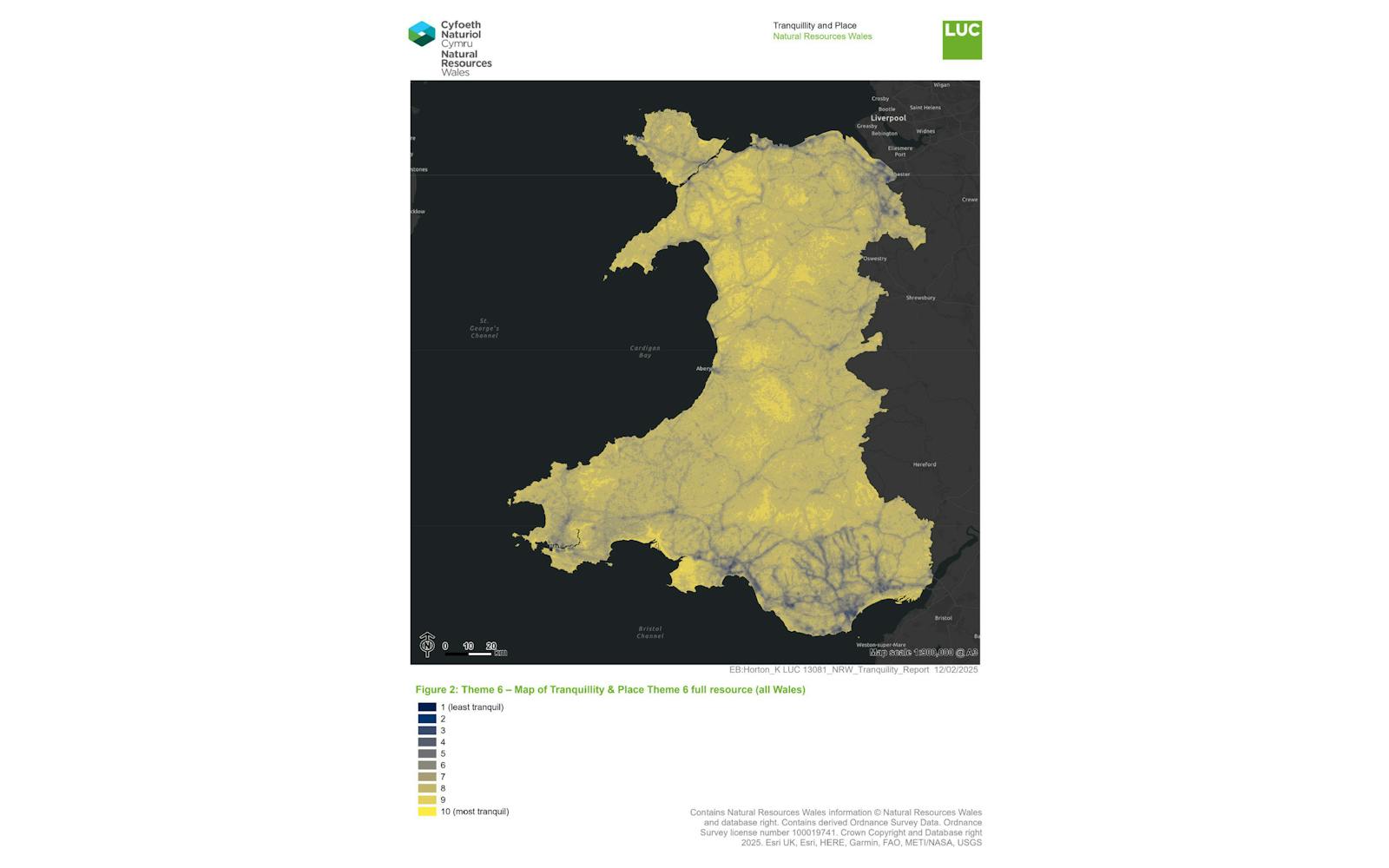
The study identified 70% of Wales within the top three tranquil categories. This information empowers policymakers to safeguard these valuable spaces, recognised for their contribution to mental and physical health.
The data will be used for various purposes, including informing planning applications and environmental assessments.
Completed over five years, the full Tranquillity & Place resource includes six themed datasets:
- Theme 1 (2022): Perceived abundance of nature, natural landscapes, and greenspace
- Theme 2 (2022): Freedom from intrusive visual disturbance and human influence
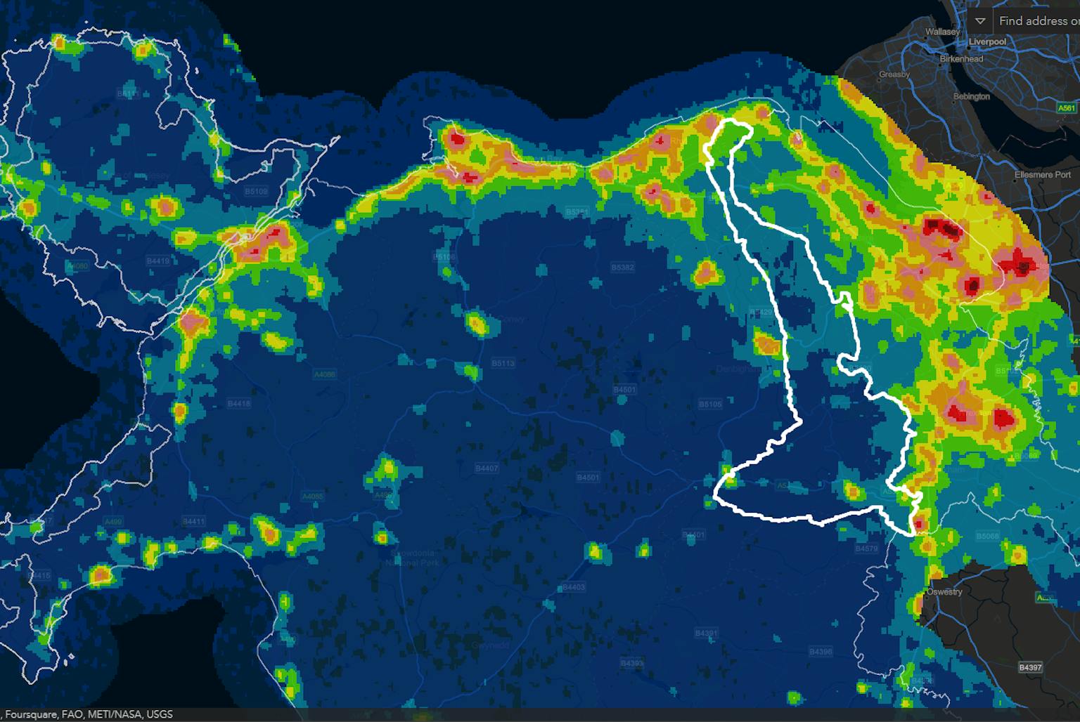
- Theme 3 (2021): Relative dark skies
- Theme 4 (2024): Sound environment
- Theme 5 (2022): Visually tranquil places (combined Themes 1–3)
- Theme 6 (2025): Full resource (combined Themes 4 and 5)
All datasets are freely available on DataMapWales to support evidence-based decision-making.
Unveiling layers of tranquillity
LUC developed a multifaceted approach:
- Theme 1 explored the influence of nature, analysing the visibility of natural features and access to green space.
- Theme 2 assessed the impact of human-made elements, mapping areas with minimal visual intrusion from roads and development.
- Theme 3 focused on dark skies – a vital but often overlooked aspect of tranquillity.
- Theme 4 examined soundscapes, identifying areas where natural sounds are more prominent than noise.
- Theme 5 brought together visual tranquillity themes, while Theme 6 integrates both sound and visual indicators.
Digital tools
LUC employed sophisticated techniques to analyse a vast number of datasets.
Digital Elevation Models were used to simulate the landscape and calculate the visibility of natural features and potential disturbances.
To create the dark skies layer, LUC’s GIS team converted night-time satellite imagery into a national dataset, categorised by light pollution levels.
An interactive dashboard allows users to explore the presence and absence of night lights across Wales, with particular relevance for planning and biodiversity.
The Tranquillity and Place evidence can be explored in a summary StoryMap, which explains the methodology and provides easy access to the findings.
Empowering informed decisions
By identifying and mapping tranquil areas in Wales, this project enables better planning and stronger environmental protection.
It also highlights how digital evidence can promote well-being, enhance biodiversity, and support cultural and tourism value linked to tranquil and dark places.
The work positions Wales as a leader in valuing and protecting its tranquillity – not just during the day, but also after dark.