Mapping & data analysis
What we offer
- GIS
- Databases
- Web mapping
- Field data capture
- Site Finding
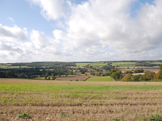
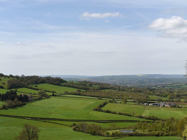
- Landscape Monitoring
The service explained
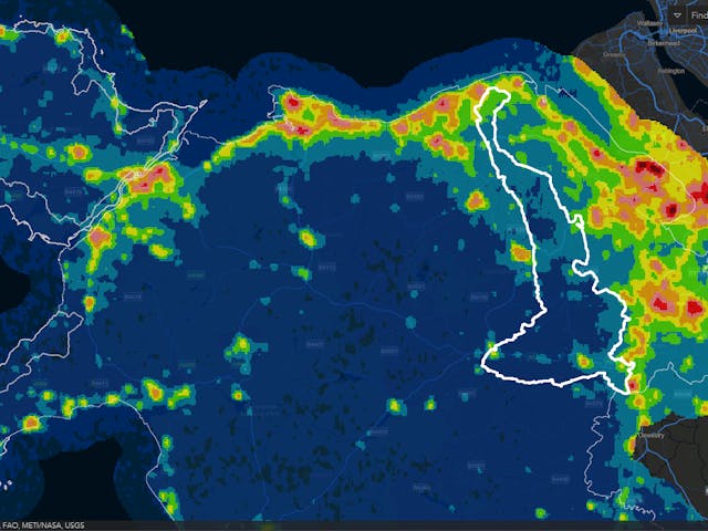
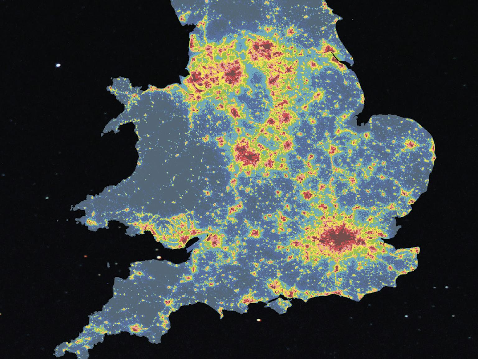
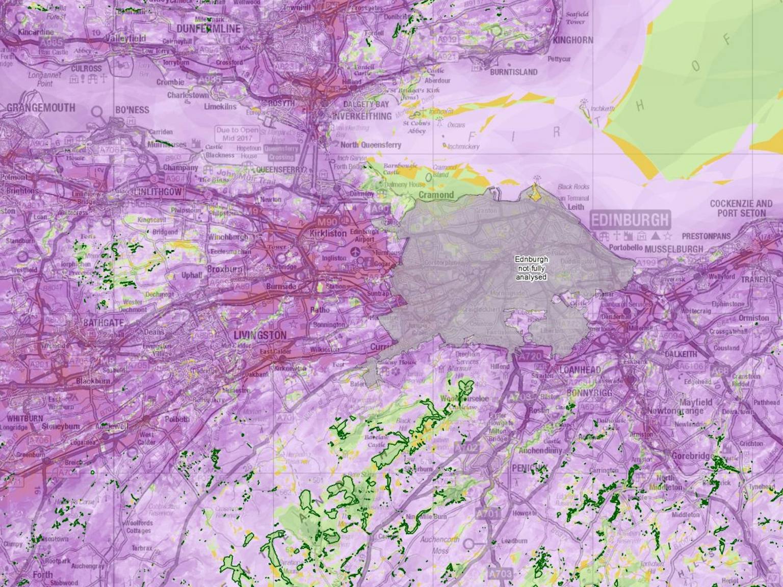
One of our clients’ major challenges is presenting complex spatial datasets in a digestible way. We create interactive databases that set out data in maps or other graphical formats so patterns can be understood by a wide range of users.
Databases
Our bespoke databases provide easy, interactive access to complex information. We illustrate the relationships between data to allow clients and stakeholders to make informed decisions about land use.


Web mapping
We create online GIS maps that are easily updateable and fully accessible. We build the baseline and add layers to tell the geospatial story, enabling a wide range of users to analyse spatial data.
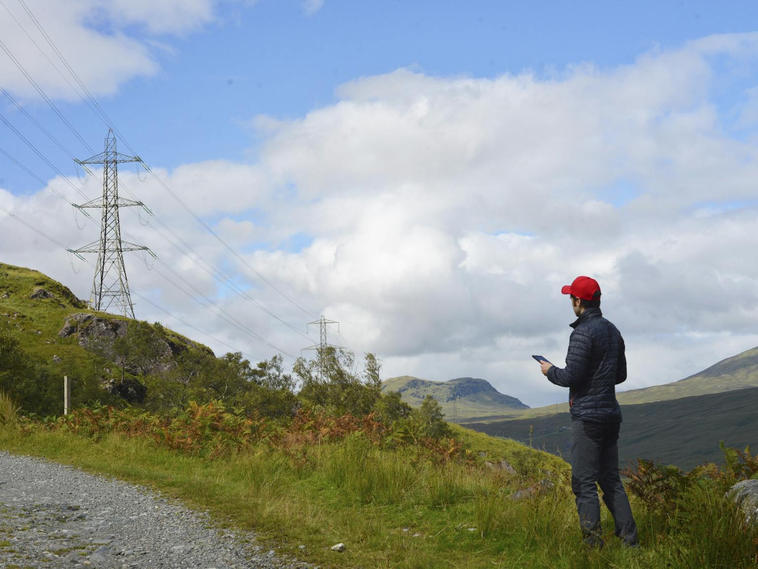
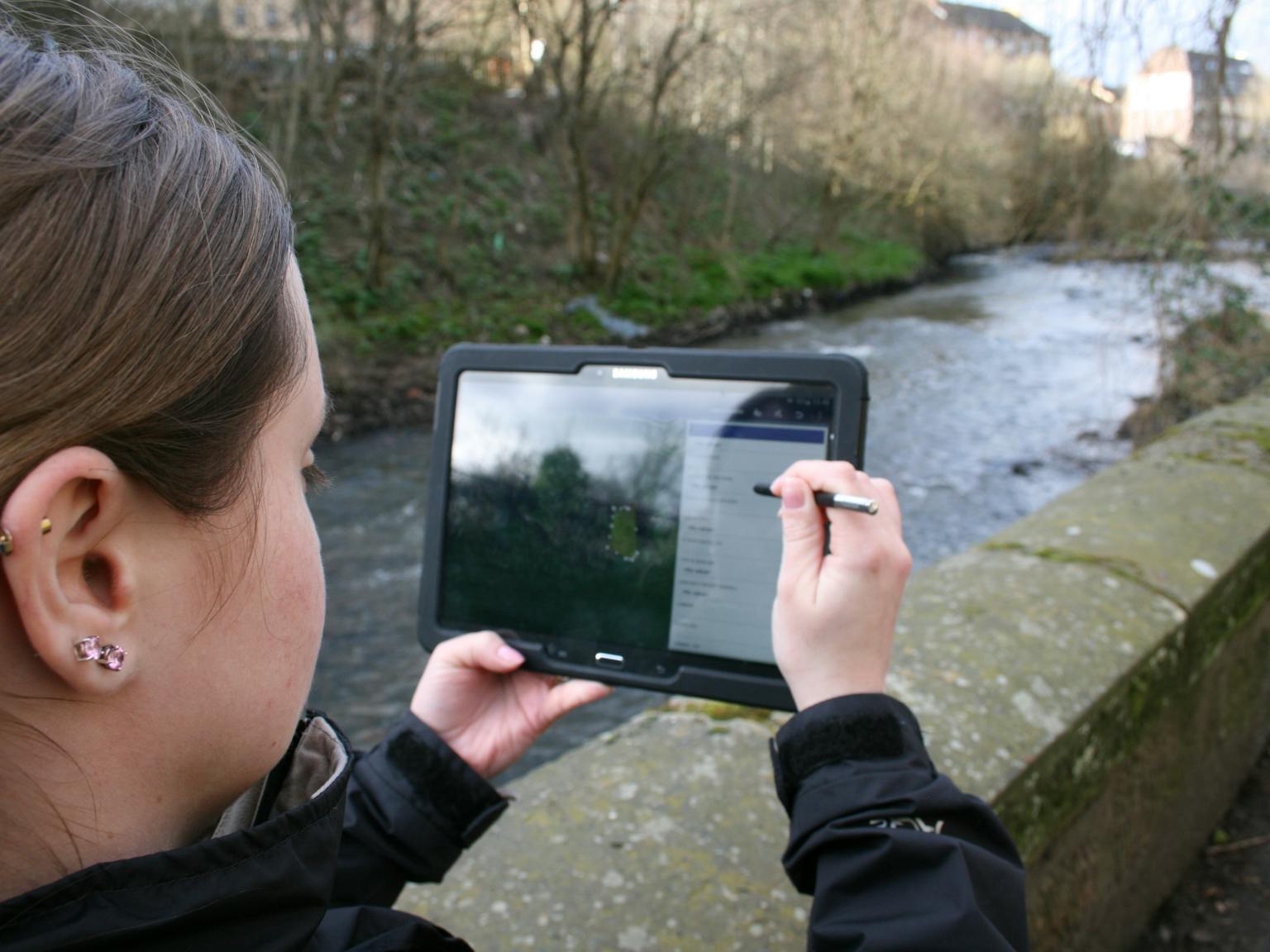
Field data capture
Our fieldwork teams input their results digitally, enabling our desk-based teams to work with the data on a real time basis. This efficient process ensures we spend time on robust analysis and clear presentation rather than data entry.
Get in touch
If you’re interested in discussing a project with us please get in touch.