Empowering decision-making with GIS & Visualisation
Watch our new film
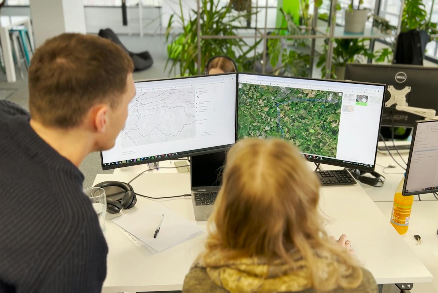
Discover how LUC's expert GIS & Visualisation team can transform your data into actionable insights. Our comprehensive services include:
- Field data collection: Streamlined on-site data collection with real-time feedback.
- Community engagement: Engaging stakeholders through online surveys, exhibitions, and webmaps.
- Visualisation and 3D modeling: Creating stunning visuals to bring your projects to life.
- Web development: Ensuring your technical reports are accessible and user-friendly.
Get in touch to learn how LUC can help you make data-driven decisions and achieve your project goals.