Landscape and Visual Impact Assessment (LVIA): visualisation types and ‘AVR’ levels explained
Visualisations are an important part of Landscape and Visual Impact Assessment (LVIA) and Townscape and Visual Impact Assessment (TVIA). They illustrate the likely landscape and visual effects of a proposal and help the decision-maker/competent authority understand these effects.
LVIA visualisation types
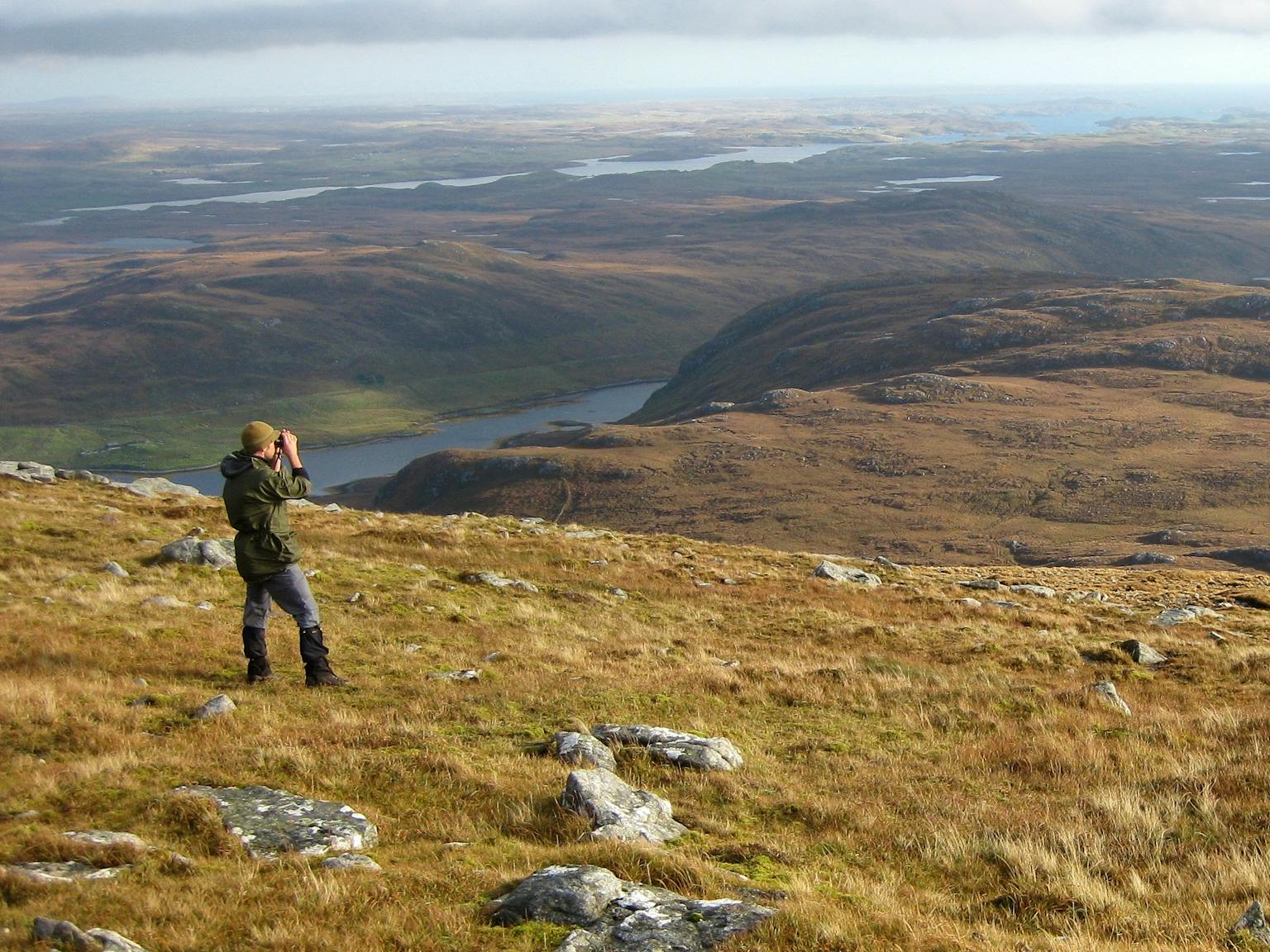
The Landscape Institute guidance on the visualisation of development proposals sets out four ‘types’ of visualisations that can be used to illustrate a Landscape and Visual Impact Assessment (LVIA). They are as follows:
- Type 1: Annotated viewpoint photograph: this type of visualisation uses annotations to represent context and outline or extent of development, and of key features;
- Type 2: 3D Wireline / Model (non-photographic): this type of visualisation represents the 3D form of development in its context, but not overlaid onto a photograph;
- Type 3: Photomontage / Photowire): this type of visualisation represents the appearance, context, form and extent of development overlaid onto a photograph;
- Type 4: Photomontage / Photowire Survey / Scale Verifiable: this type of visualisation represents the scale, appearance, context, form, and extent of development overlaid onto a photograph (N.B. a full frame sensor camera and tripod are required for photography, as well as verifiable data sources and a methodology for type 4 visualisations).
What is an ‘AVR’?
Accurate Visual Representation (AVR) is a term for a scaled visualisation that shows the location of a proposed development, the degree to which it will be visible, its detailed form and/or the materials to be used. AVRs may also be called ‘verified views’ or ‘verified visual images’ and equates to Landscape Institute Visualisation Type 4 above (although the graphical approaches to producing AVRs may apply to both Type 3 and Type 4 visualisations).
The London View Management Framework (2012) proposes four levels of ‘Accurate Visual Representation’ (AVR), based on the detail of the proposed development within the image. These are:
- AVR Level 0: Location and size of proposal: this equates to a photowire and provides an outline of the proposal overlaid onto the photograph base;
- AVR Level 1: Location, size and degree of visibility of proposal: this shows the massing of the proposal within a 3D context represented by the photograph – that is, what can and cannot be seen.
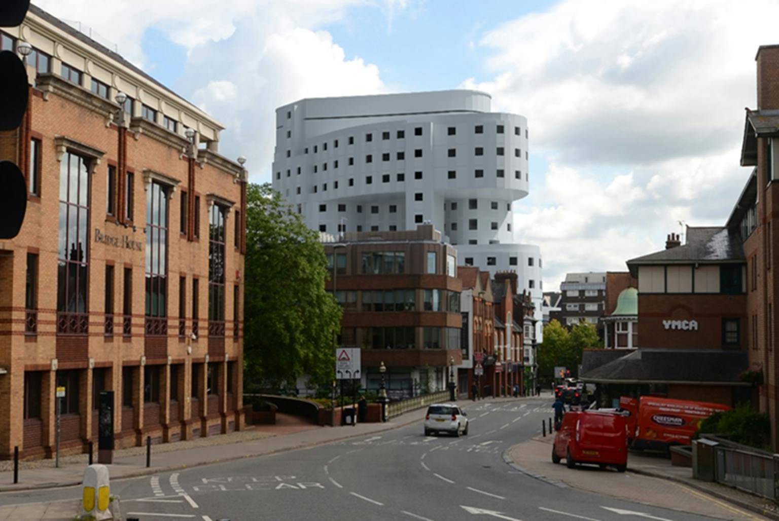
- AVR Level 2: As level 1 + description of architectural form: this illustrates architectural form such as doors, windows and floors, and gives a sense of the form and shading of the development within its context.
- AVR Level 3: As level 2 + use of materials: this is a fully rendered photomontage, usually photo-realistic with texture, shading and reflections as appropriate.
See more about our visualisation services including photography, visualisation options and examples of our work here.
Our LVIA experts can advise on which types of visualisations might be appropriate in which circumstances. If you would like some advice, please get in touch with Rebecca Knight.
